info@v-cs.in
+91 94299 98080

GISurvey

Vector Consultancy > GISurvey

GISurvey

VCS has its own state of the art survey application named GISurvey.

GISurvey

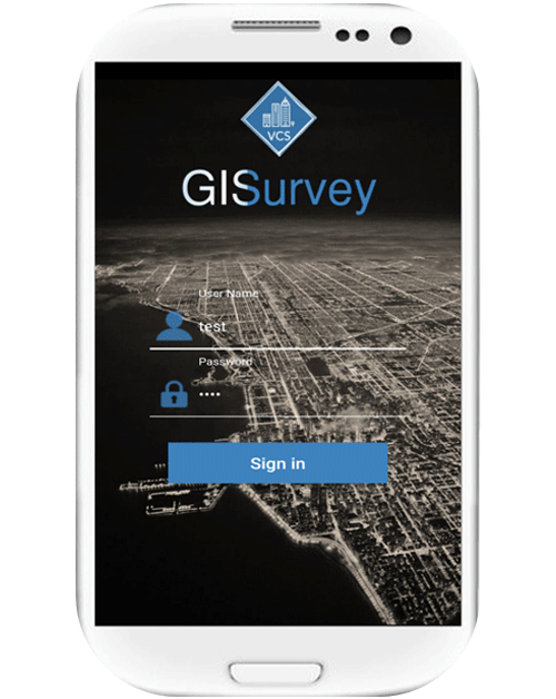
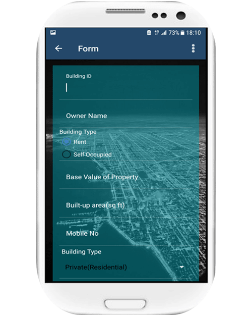
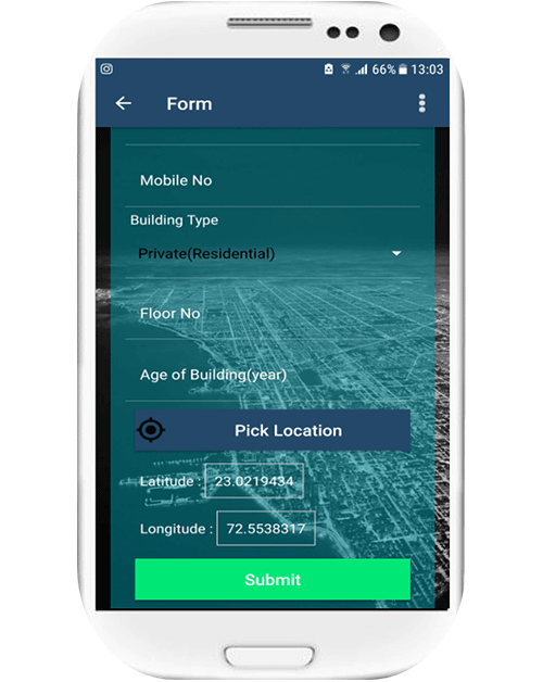
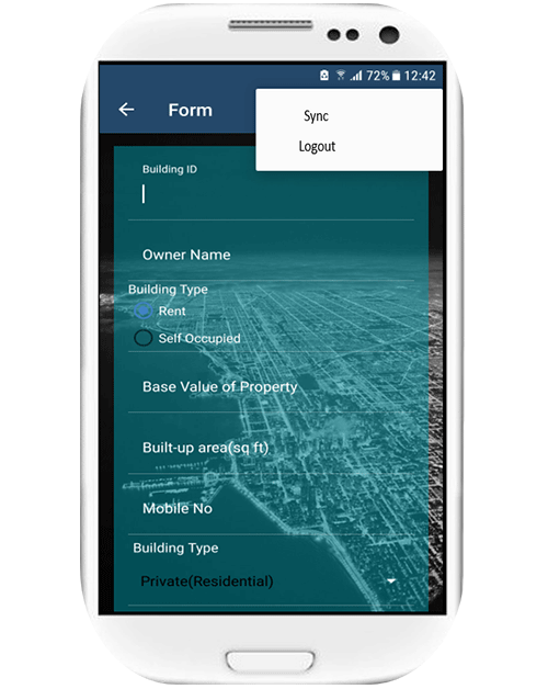
GISurvey is a survey application which can useful for conducting any type of Geo-tagging survey work. No paper Work is required to conduct a survey only a smart android phone is needed.

GISurvey can be used in any domain of survey i.e. Household survey, Geotagging Assets on city level or village level, any survey related to location analytics.

Features & Benefits

  • GISurvey can be used online and offline as well.
  • Avoid error from collecting data from manual filling forms data entry.
  • Automatically create database created with both spatial and nonspatial attributes.
  • It can be modified with the regional language as it supports Multi Language, the data can be obtained in the respective language.
  • All type of Android phones is compatible with this application.

Specifications

  • Dynamic Feature: Forms are dynamic and can be changed according to the survey needs. Forms can be built and filled on the application as required.
  • Security: A surveyor’s phone ID will be unique so any manipulation in survey work by surveyors cannot be done, transparency is maintained.
  • Precision: The Lat Long acquired on the ground has upto 7 decimal points precision from this application.
  • Accessibility: Can work in remote areas in offline mode, with database intact.
  • Compatibility: Can be used and installed in any Android Phone.
  • Accessibility: Can work in remote areas in offline mode with an option to sync data after getting internet connectivity, with database intact.

How to Use:

  • The survey application will be deployed to the surveyors with their unique IMEI or mobile number.
  • Login ID and Password will be given to the unique mobile number.
  • Surveyor can fill the form and press sync/submit in the given app to send his data to the server/phone.
  • After sending/submitting the data a new form will be generated.
  • Note: The survey carried by the unique surveyor will be seen and the record will be kept in the server to calculate his quantum of work.